N 38.39.914 W 79.05.007
38.665139, -79.083109
Elevation is 3382 ft

(Many thanks to Attilla Danko for making the Clear Sky Clock available for this site)
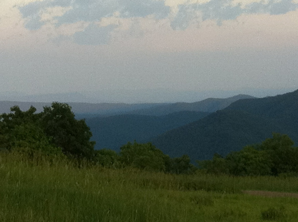
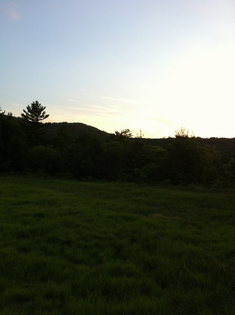
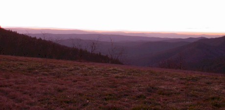
Here are three new photo’s from Jeff McFarlin and a link to his post about the Heli Site.
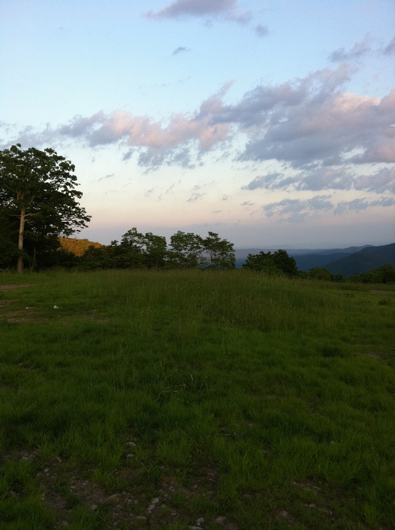
This seldom used site is in the George Washington National Forest (GWF), is about 100 miles from the Capital Beltway. It is located on a ridge with excellent horizons to the north and south, and good horizons east and west. There is a bit of a light dome to the south, but less than any other site this close to Washington. Please note this is not an official Novac observing site and you are using it as a guest of the National Forest.
I understand that the site is generally accessible to non-4WD vehicles through the end of November or thereabouts, depending on the weather, and that it then would be inaccessible at least through February or March.
Looking South
Directions
- Take exit 264 (New Market / Timberville / Luray exit (US 211) (this is 50 miles from where Rte 7 hits I-81, and 35 miles from the I-66 interchange. If you want to gauge your driving time, you are 45 minutes from the observing site at this point.)
- Turn Right at the base of the off-ramp onto VA-211 west.
- After ~5.5 miles turn left onto VA-42.
- After 1.5 miles veer right onto VA-42 / VA-259 (at a traffic light intersection) towards Broadway, Va.
- Stay on VA-259 for 8 miles
- Just past Fulkes Run, turn left on Rt. 818 (Little Dry River Rd)
- In 0.3 miles, turn left again to stay on Rt. 818.
- Follow this road 11.5 miles until you reach the clearing that is the observing site. (You’ll be climbing through forest until you break into this clearing, and will enter it again if you overshoot, so it is unmistakable. If you follow your odometer 11.5 miles from the second turn onto Rte 818, though, you’ll hit it).
N.B.– 0.3 miles before you reach the clearing the road takes a 90 degree bend to the left, while another dirt road continues straight.
BEAR LEFT– NOT onto the road with the brown and white “232” sign. If you come to a T intersection, you have gone too far–either on 232 or the proper road but you overshot the clearing. (It’s not large– about 100 yards long x 40 wide)
The first ~7 miles of this road is paved, the last ~4.5 is dirt. Its condition is better than the approach road to either Savage or the rutted part of the Camp High Road ascent, but it IS a single lane dirt road cut into the side of a mountain, so treat it with respect (i.e., 15 mph, ascending and descending).
I’ve encountered several cars coming in the opposite direction, and things can get a bit dicey under those circumstances.
There are no facilities in the national forest so remember to bring your own water, toilet paper, food, shelter.
Also see the George Washington National Forest website for advisories.
Observing Report
Jim Richberg
November 22, 2003
The temperature was a constant 50* F all night, there was nary a trace of dew, and the site didn’t receive any of the wind gusts it is prone to getting. We had some intermittent haze last night, but I got a solid Limiting Magnitude measurement of 6.2 As a result I had the best observing session in the Washington area in as long as I can remember. In the wake of my 40+ sketches during the Martian opposition, I have become fond of sketching, and last night did Mars (so-so compared to its recent glories), Jupiter (OK), Saturn (fantastic!), and the Trapezium in M42 (OK to good). I recently discovered that a charcoal pencil and genuine bond paper helps those of us who are ‘artistically challenged’ — charcoal works especially well on items such as nebulae or the bands of Jupiter. I tried to observe some Bright and Dark Nebulae without a lot of success, but found some really charming open clusters (OC457 and OC 663 were particularly nice). While there was still enough ambient light on the ground to be able to see shapes, the skies were appreciably darker than anything I’ve seen in years, to such an extent that even the Messiers looked different! I had fun seeing how many of the relatively challenging ones like M1 I could see clearly with just my finder scope (cheap ST80 clone). For the first time ever I saw the full extent of M31, as opposed to just the core that even 16″ of aperture usually yields at Savage or Crockett. I brought both Frankenscope and my 10″ LX200 (on the grounds that, if you go that far, you might as well have as many telescopes as you can shoehorn into the car!) If you haven’t been to Spruce Knob (which is 35 miles due west of this site), the helicopter pad is probably the darkest publicly accessible spot you’ll ever use in our area. Unlike the Knob, its two-hour driving time from Northern Va makes it feasible for an overnight trip.
You must be logged in to post a comment.